

LOCAL WALK TIPS

There are lots of various apps available to download that can help suggest, direct, and track routes. However - do bear in mind that some apps/maps will be useless when you lose signal, or run out of battery. Therefore, if you are venturing a long way from home we always recommend downloading any maps you may need and taking phone battery charges with you - or even better - go old school and take an actual paper map!
Some of the apps we use are:
- OS maps – as this is really good at showing footpaths and routes that aren't clear on google
- Google maps
- Kamoot and All Trails.
These last two apps work by you putting in your location - or the location you are intending to start from, and it brings up walks in that area. They are also 'user based' apps - which means some routes are 'official walks' where as others are random submissions from fellow walkers. This means you can find some right gems that you possibly wouldn't of found otherwise - however, some routes are also better than others. We have recently set up an account on All Trails, just search for "When We Wander' and our walks will come up.

Don't be scared to go to new places, try new things
- after all who knows what you could find - and if it isn't right - you can always turn around! Below are two places we stumbled upon just by chance and heading off the beaten track - and these are right next to a road which we'd of usually walked down by default.


I know this is also a lot easier said than done - especially if you suffer from any sort of anxiety at all. To make it easier, I always take a bag with water, tissues, anti back and a pack lunch – and recently what with all the public toilets being closed - we tend to go in the van and take the portaloo with us! Alternatively you can also buy these nifty little bottles that expand and that you can wee into! No joke!
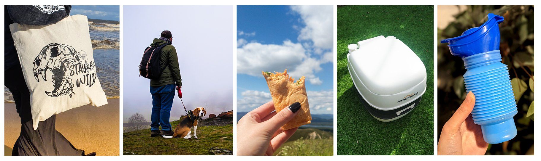
If you're after a bag - we have Stay Wild Tote bags in our shop- and backpacks coming soon!