WHEN WE WANDER
The Great Plague killed an estimated 100,000 people, almost a quarter of London's population in 18 months and was thought of been brought over by diseased fleas on rats.
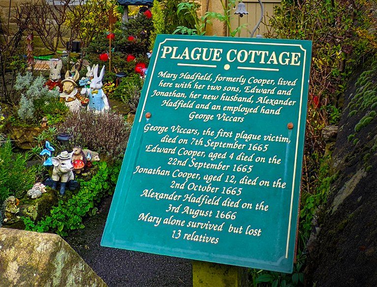
It was thought that the disease came to the village Eyam late August 1665 on some cloth delivered from London to Tailor Alexander Hadfield. Hadfield’s assistant George Viccars found it was infested with rat fleas and he died a few days later being the first victim of the Plague in Eyam.
Other towns and villages were effected by the plague - however Eyam is the famous English 'plague village' that sacrificed themselves in 1965-6 to stop the spread.
In total, 260 of a total population of 800 Eyam villagers died over the 14 months of the plague. And some families such as the Thorpe family were wiped out completely.
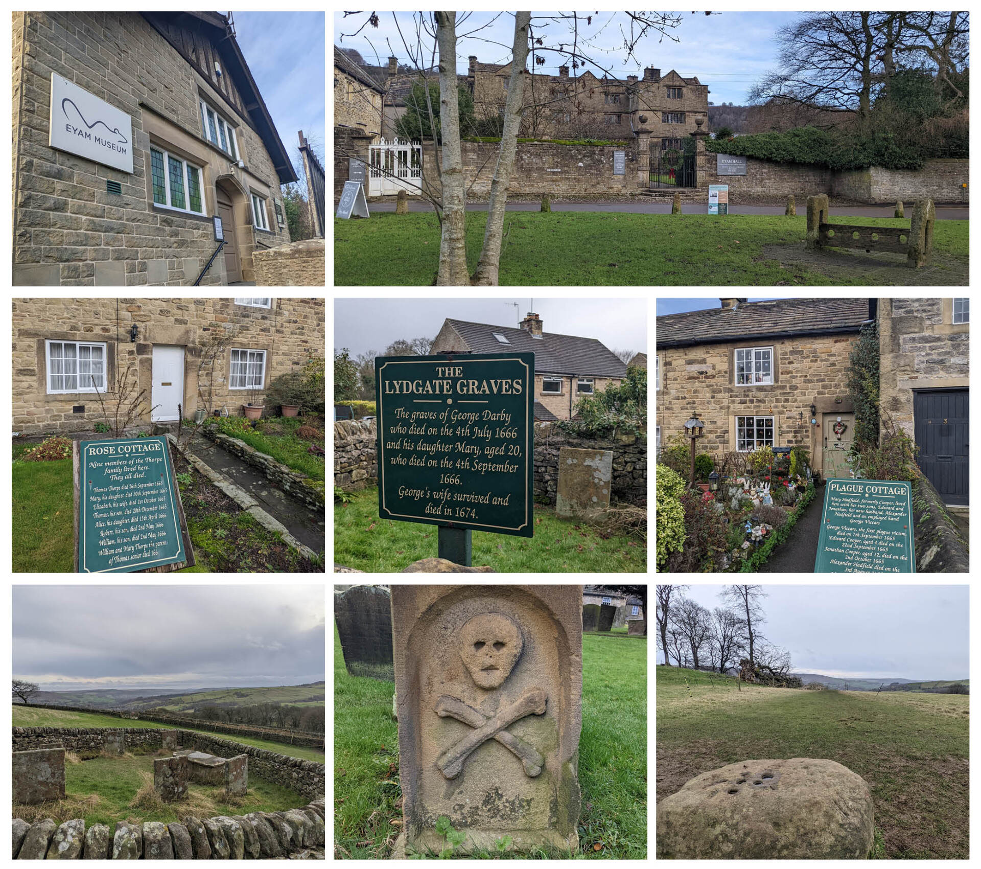
As you walk around the village you will see plaques on houses stating how many families members died there from the plague, and some have graves in the gardens. You can also visit the famous
Riley Graves which are the graves of the whole Hancok family that died within 7 days of each other.
There was never a physical wall or barrier to contain the village, it was just a dividing 'boundary line' that the villages all agreed to stay behind in order to save neighbouring villages. The line went around the outskirts of the village and no Eyam resident was allowed to pass it. Signs were erected along the line to warn travellers not to enter.
Neighbouring villages helped by leaving food and medicine at the boundary stone or Mompesson’s well soaking coins in vinegar to kill any bacteria.
Unlike our behaviour today (2020) with the Covid 19 Pandemic - there were almost no attempts to cross the line, even at the peak of the disease in the summer of 1666. There is even a heartbreaking love story about a couple that used to meet in secret and just look and talk to each other from across the line every night until one day one of them never showed – and we couldn't even stay inside playing xbox and video calling our families for 2 weeks to protect ourselves and others without complaining...
More information can be found here or if you do visit be sure to visit the Museum however, this is closed over the winter months (at time of writing reopens in February 2022).
And lastly this is still a fully functioning village and people do live in these houses today, so please be respectful when walking around and taking pictures.
Monsal trail is an old (1863) railway that runs for 8.5 miles between Blackwell Mill in Chee Dale and Bakewell which has been converted to a traffic-free route for walkers, cyclists, horse riders and wheelchair users through some of the Peak District's most spectacular limestone dales.
Don't have a bike? no worries, there are various cycle hire places in the area, or you can opt to walk it.
If you are walking, or even if your on a bike - be sure to stop just before the 'Rusher Cutting Tunnel' (If heading towards Bakewell) and pop down and get the obligatory 'Instagram selfie pic' of the 'famous' Chee Dale stepping stones. These can be found just a short walk (5-10mins) from the bridge by following the path with the river on the right-hand side of you.
This area is so idyllic – with birds chirping, the trickling sounds of the river, and the sun breaking through rustling leaves - it really does have an enchanted forest vibe. Especially if you manage to get it on a quiet day!
The path down by the river is a bit uneven underfoot, so not really suitable for people unsteady on their feet, but the stepping stones were surprisingly sturdy, flat and of a decent size (easier than both Dovedale in Derbyshire Peak District and Rydal Cave in the Lake District if you've been to either of those before).
Note this isn't cycle friendly - so if you're on bikes, lock up and take a detour/picnic stop. If you're walking - you can re-join the trail again later on, just before 'Chee Tor Tunnel'.
High Peak Trail and Tissington Trail are two other former railway lines that are also open to the public as traffic-free trails. They also have local bike hire centres and I'm hopeful we'll be visiting one of these soon to review and write about!


